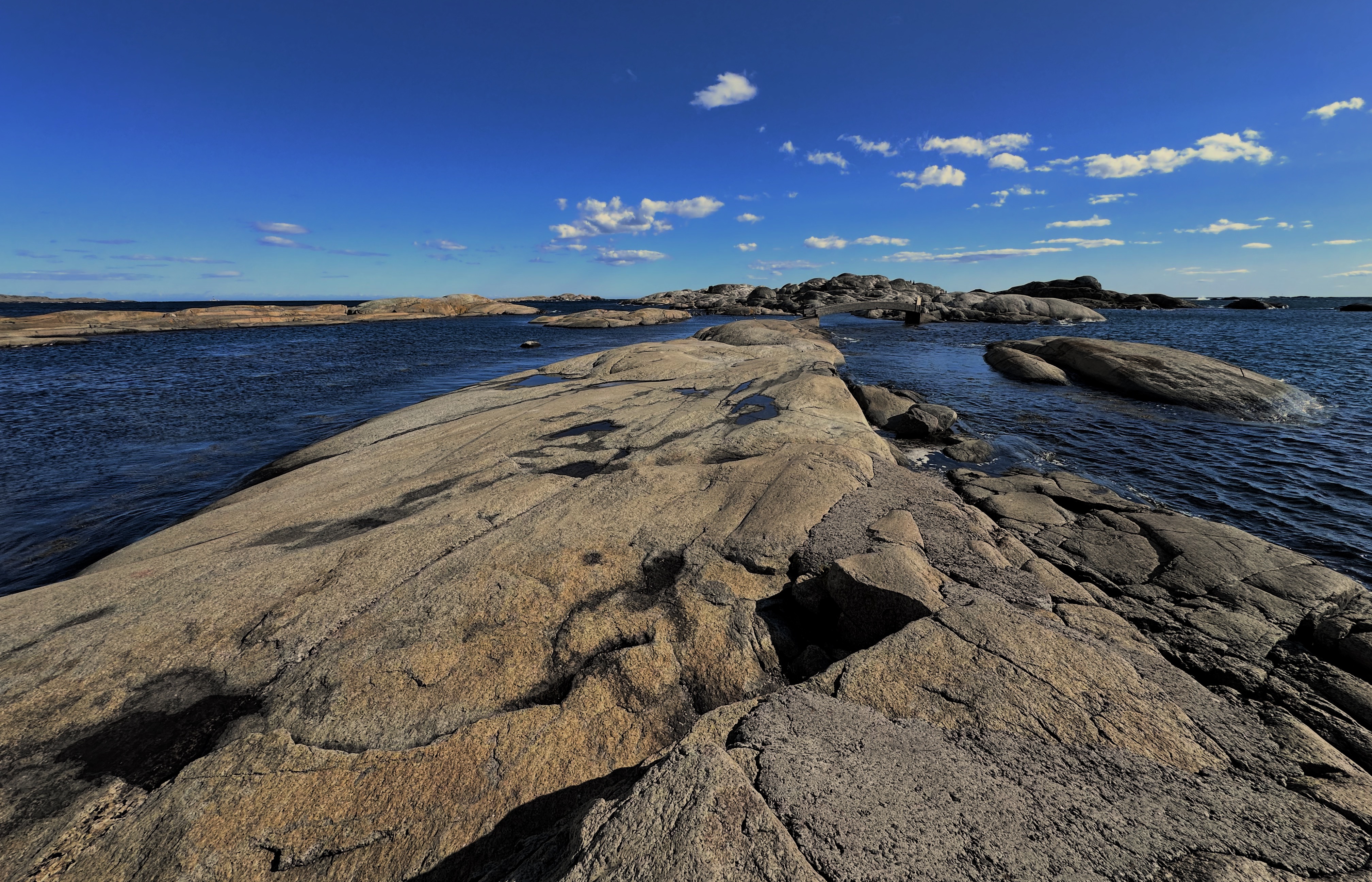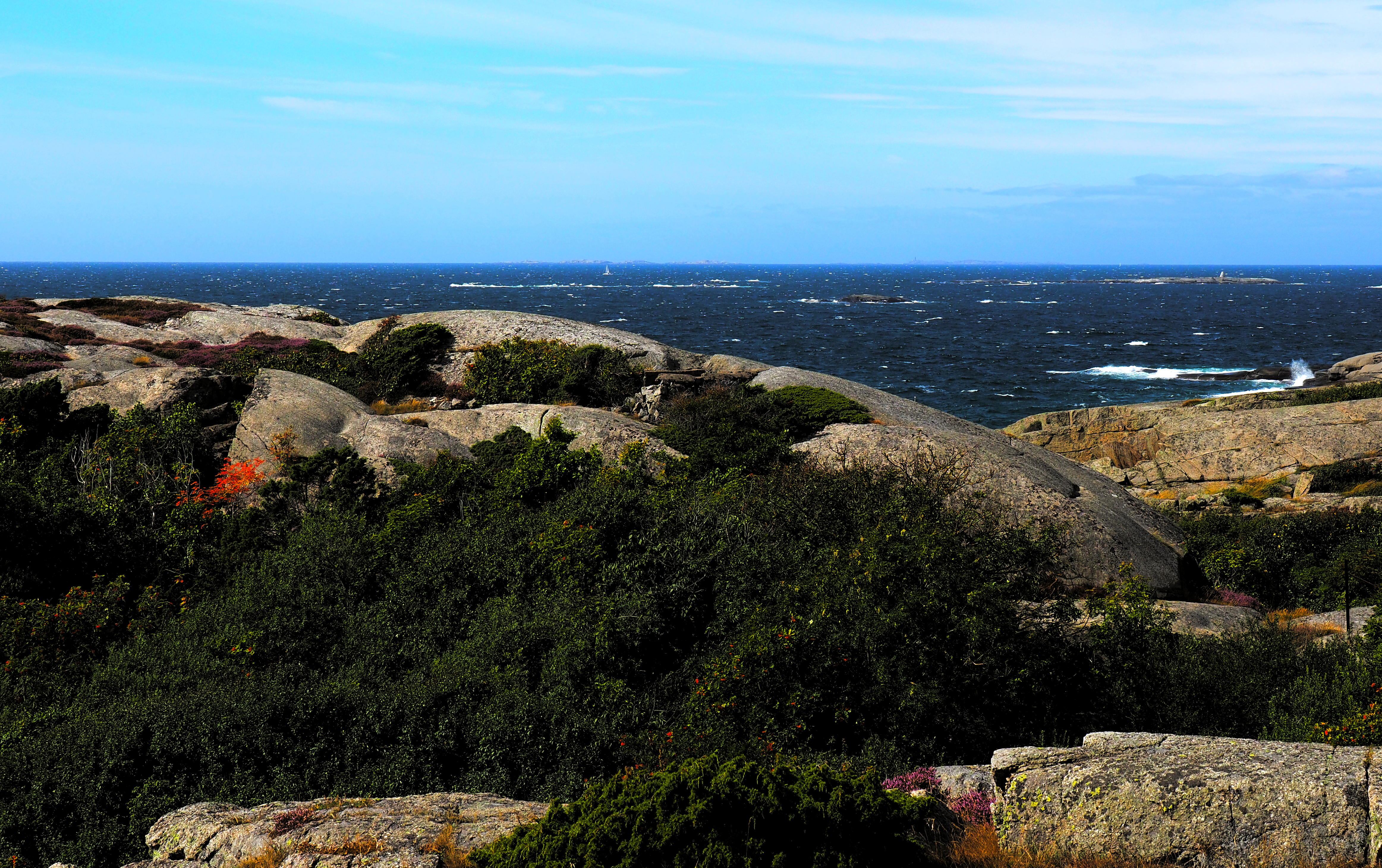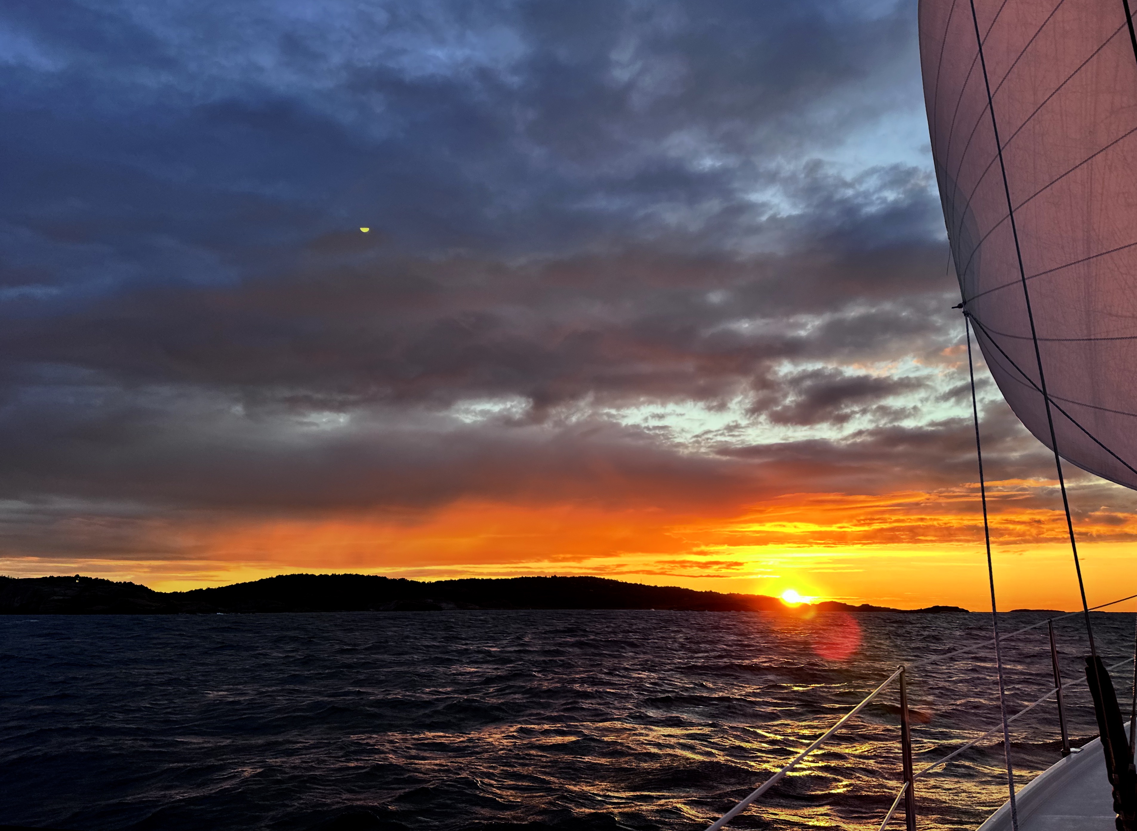
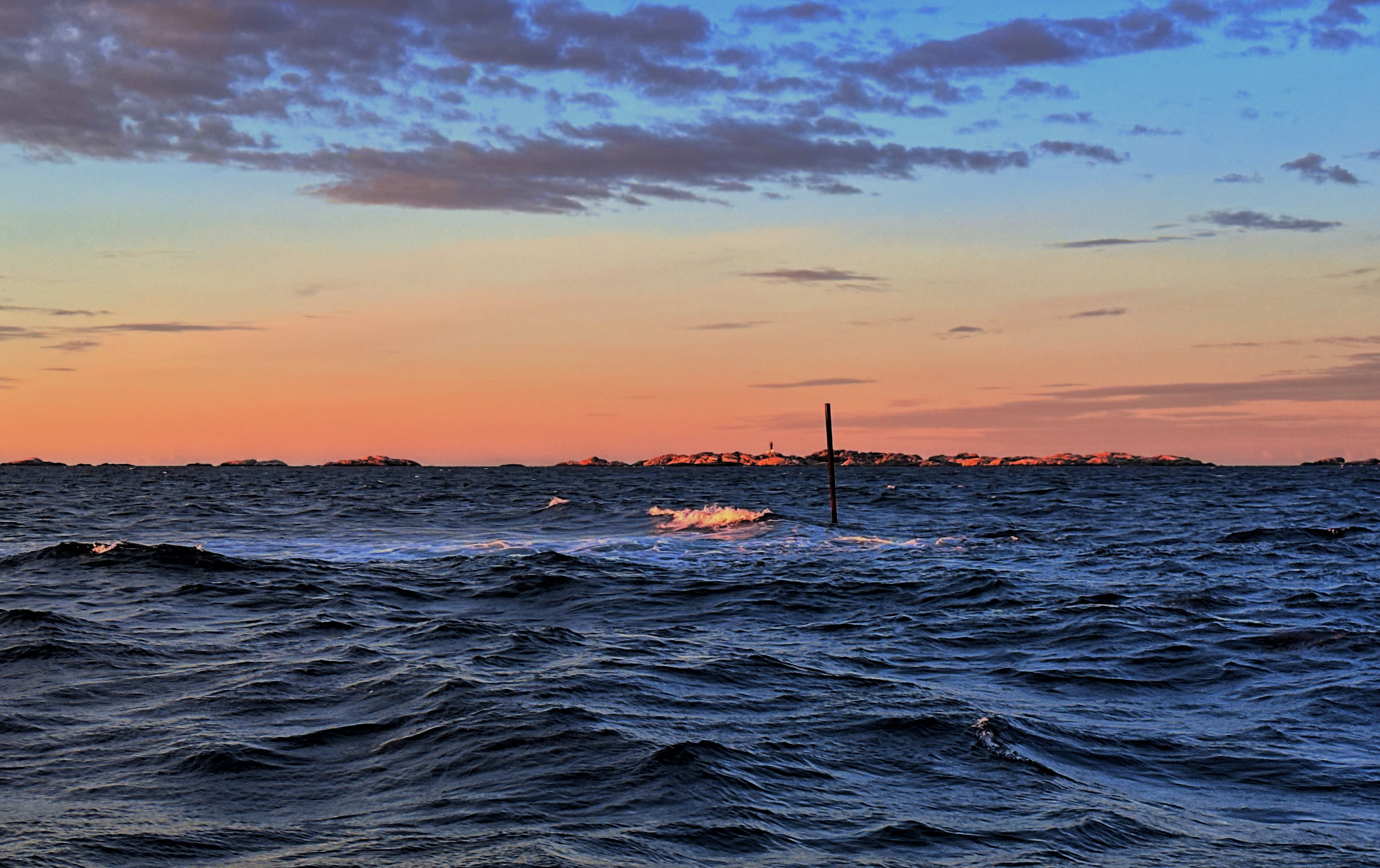
7.9 knots – that is not the wind speed (“if only,” says the most important crew member), but SY Blue Layla’s top speed early this morning. The wind is freshening to Force 7 today, more than 30 knots. No problem – if it weren’t for all those blasted rocks. Somehow, we weave our way safely through the rocks and islets, quite a few of them lurking just below the surface (see below). We reach “The End of the World” (Verdens Ende), a natural harbour at 59° 03.5′ N. This will be the northernmost point of our voyage.
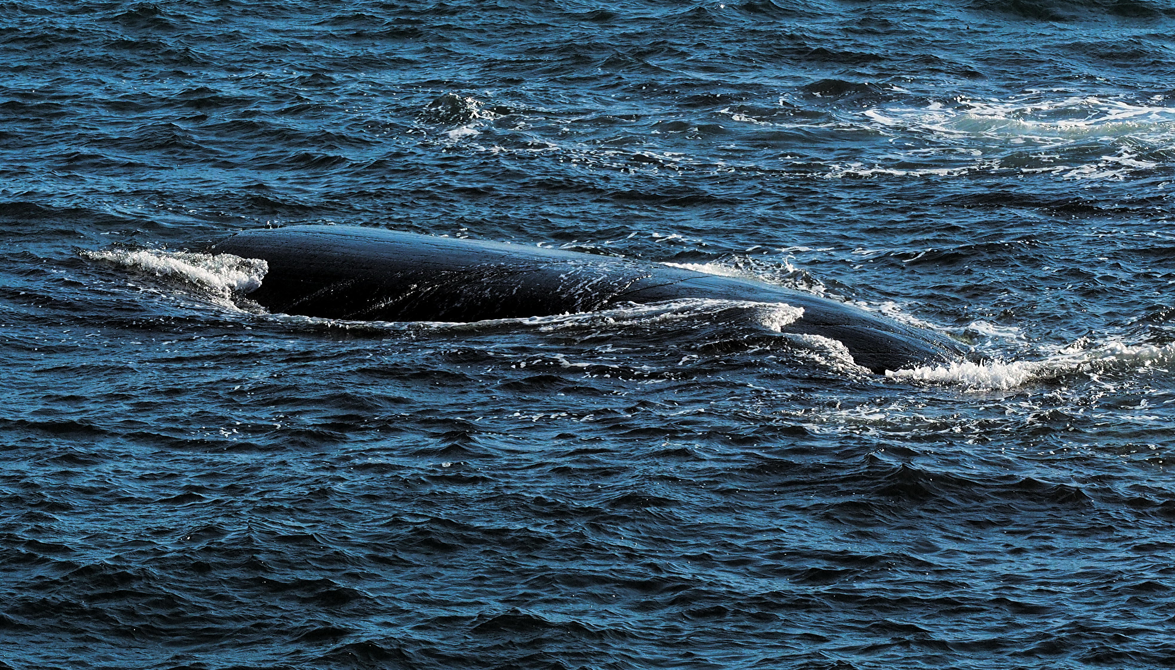
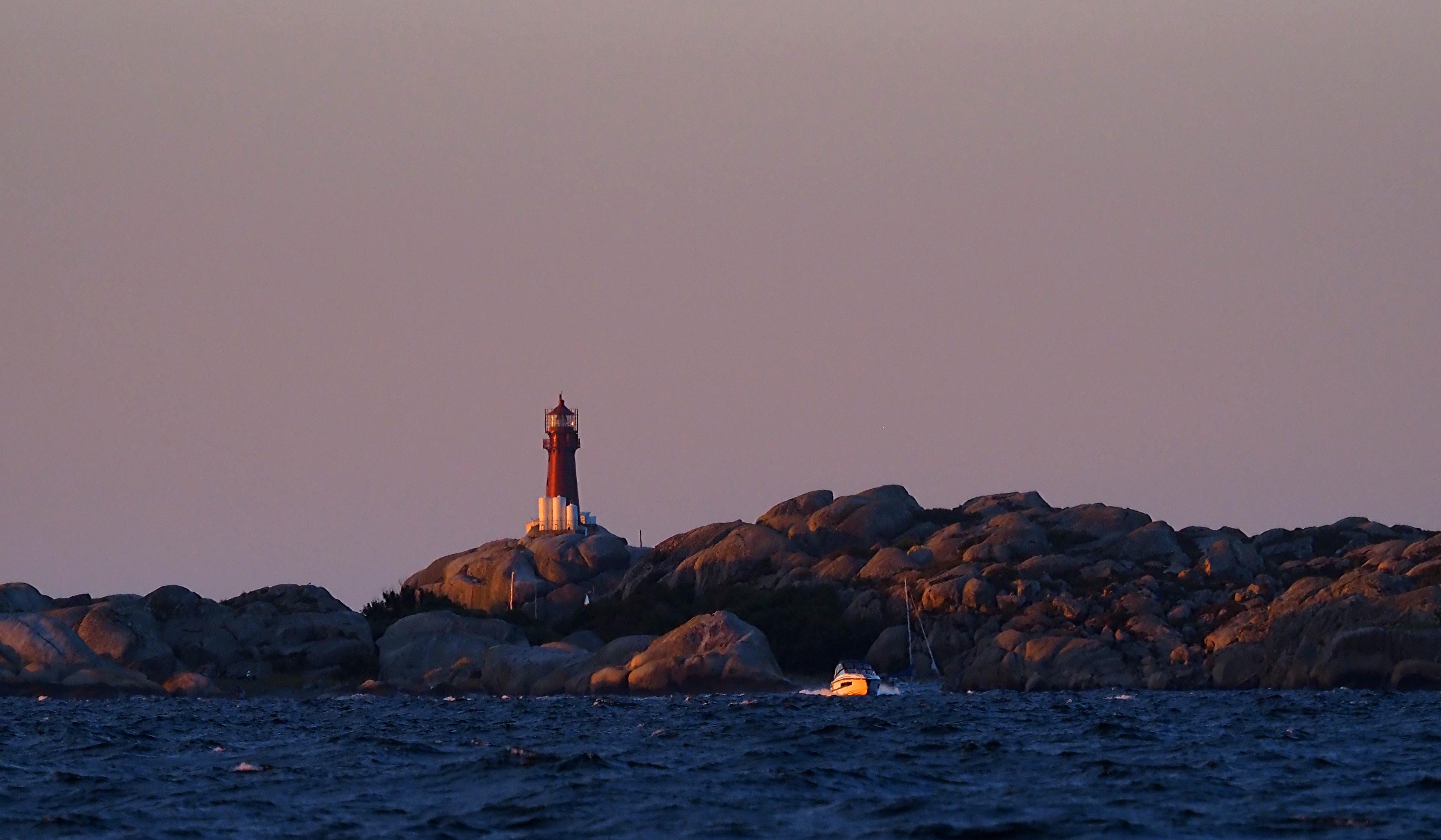
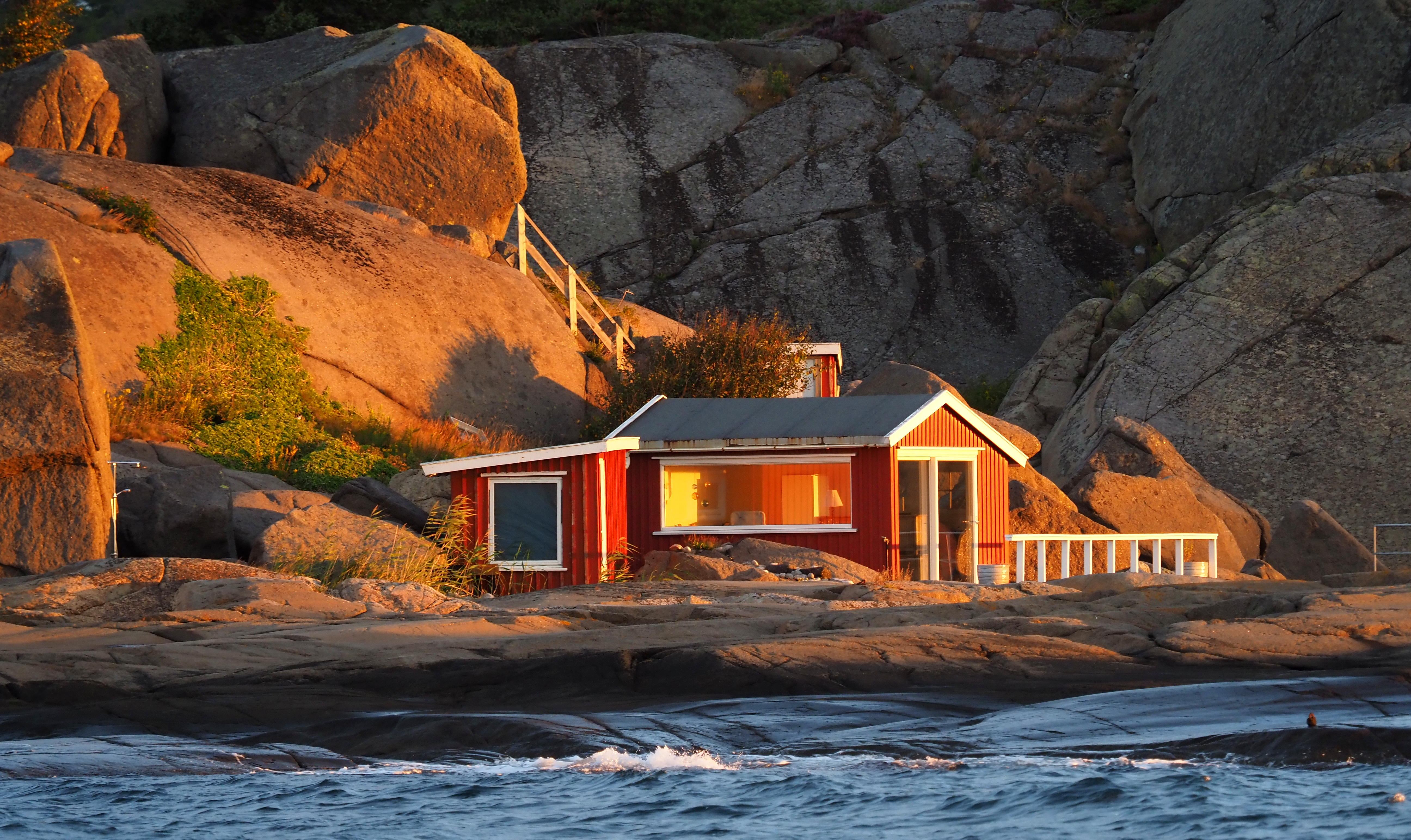
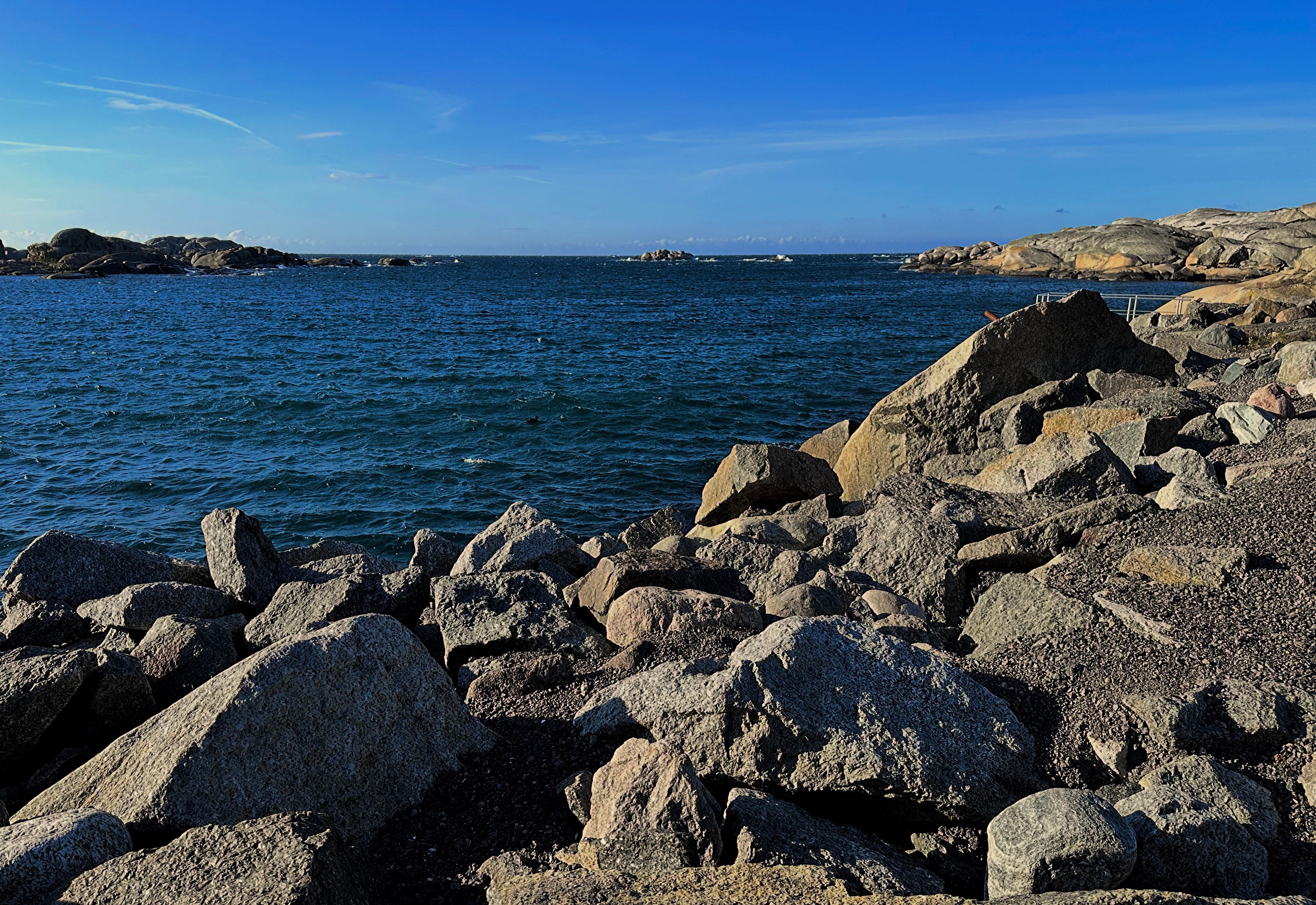
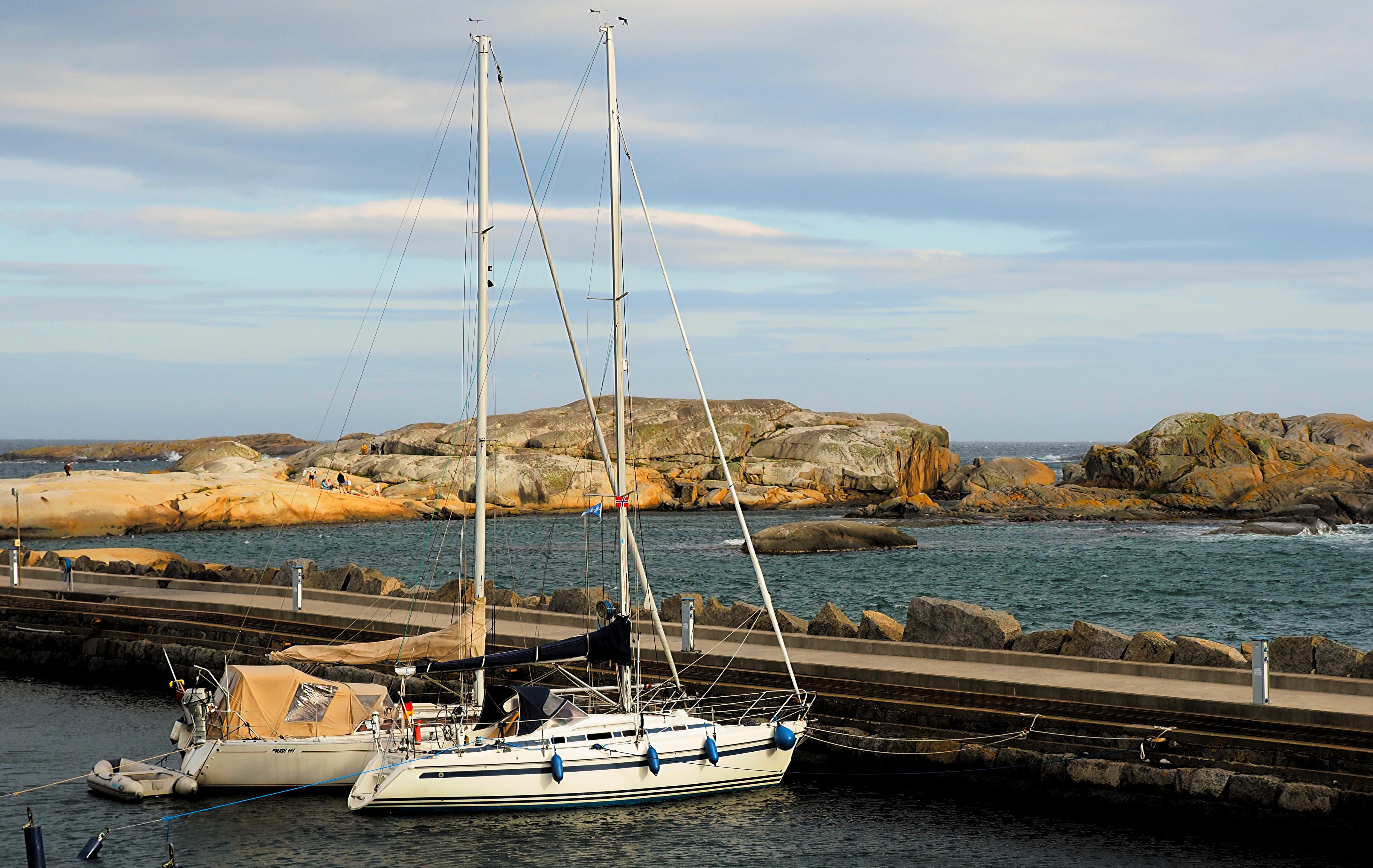
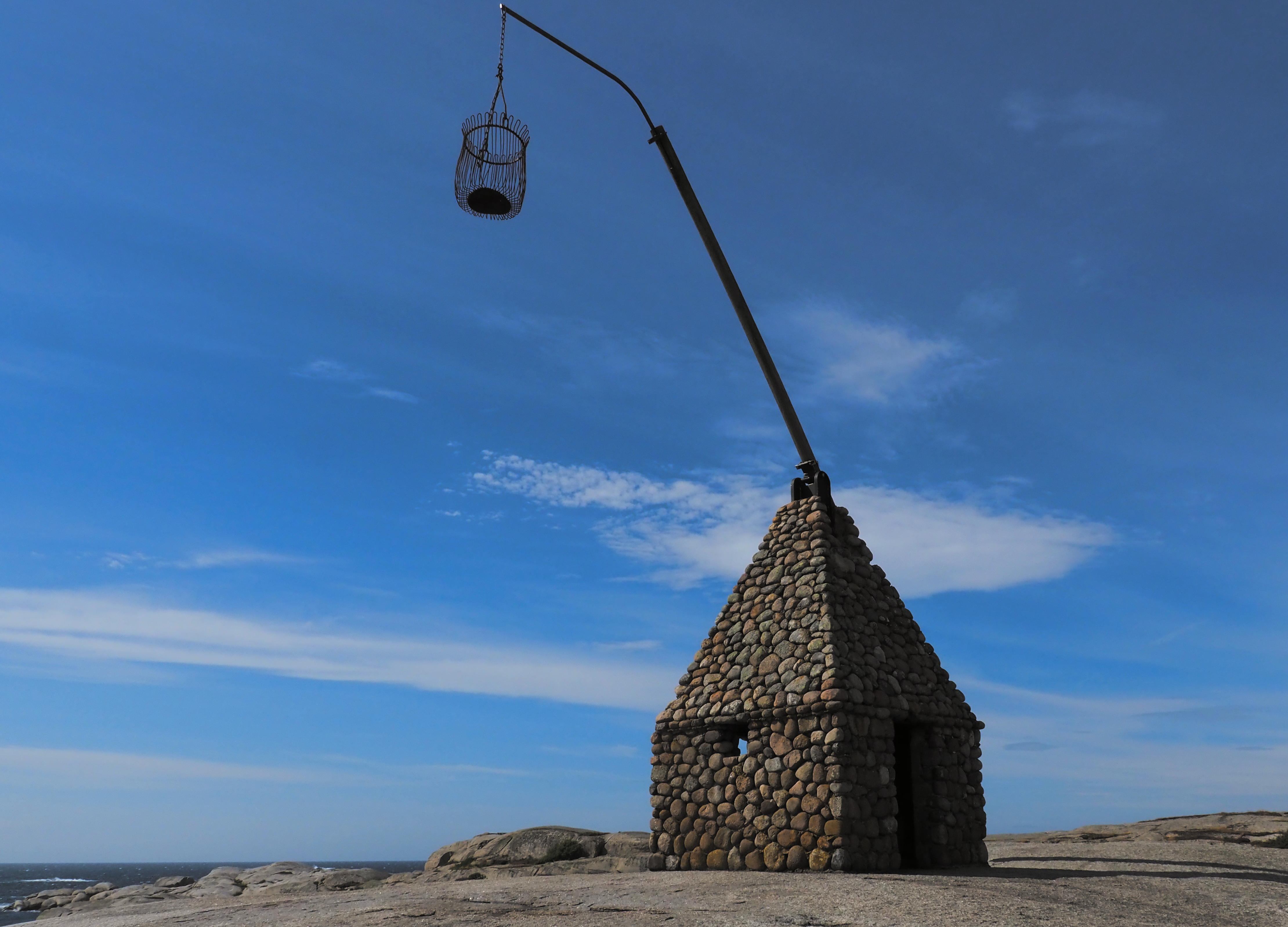
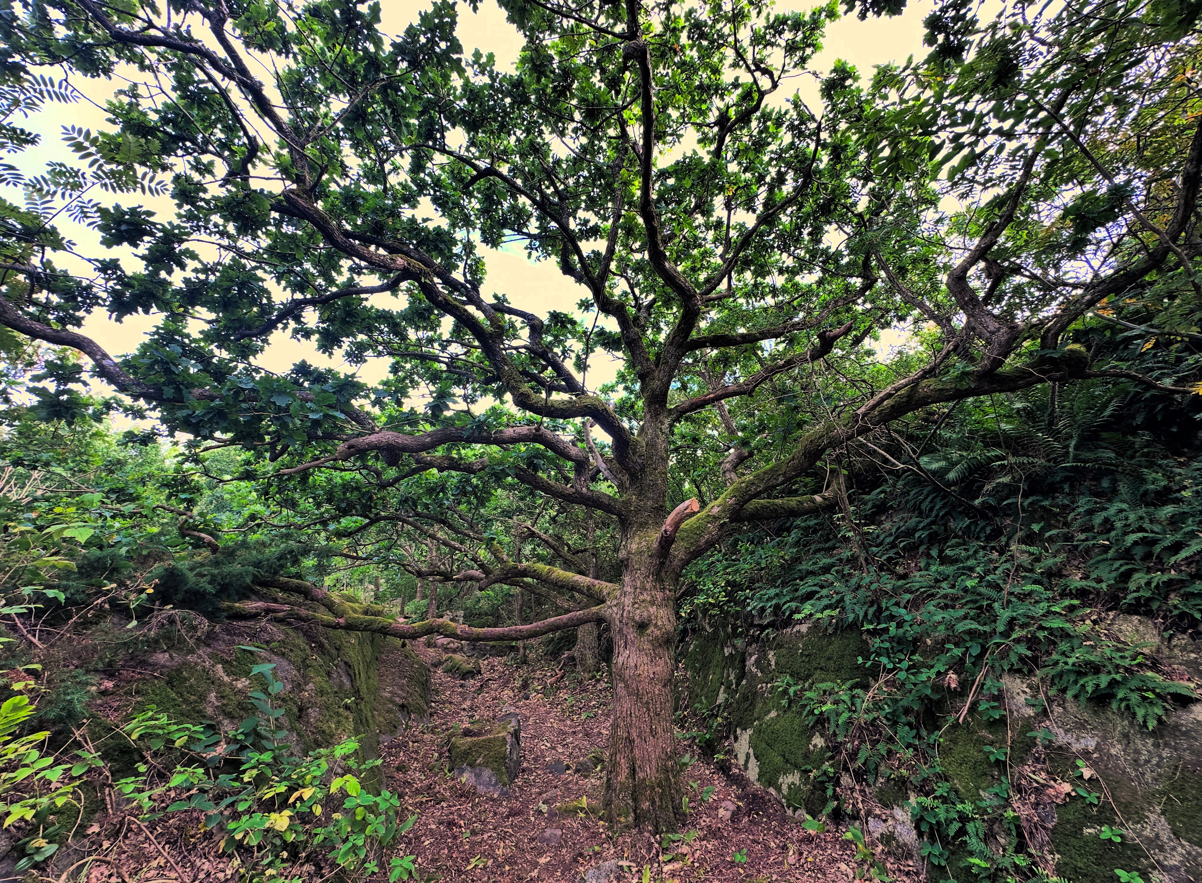
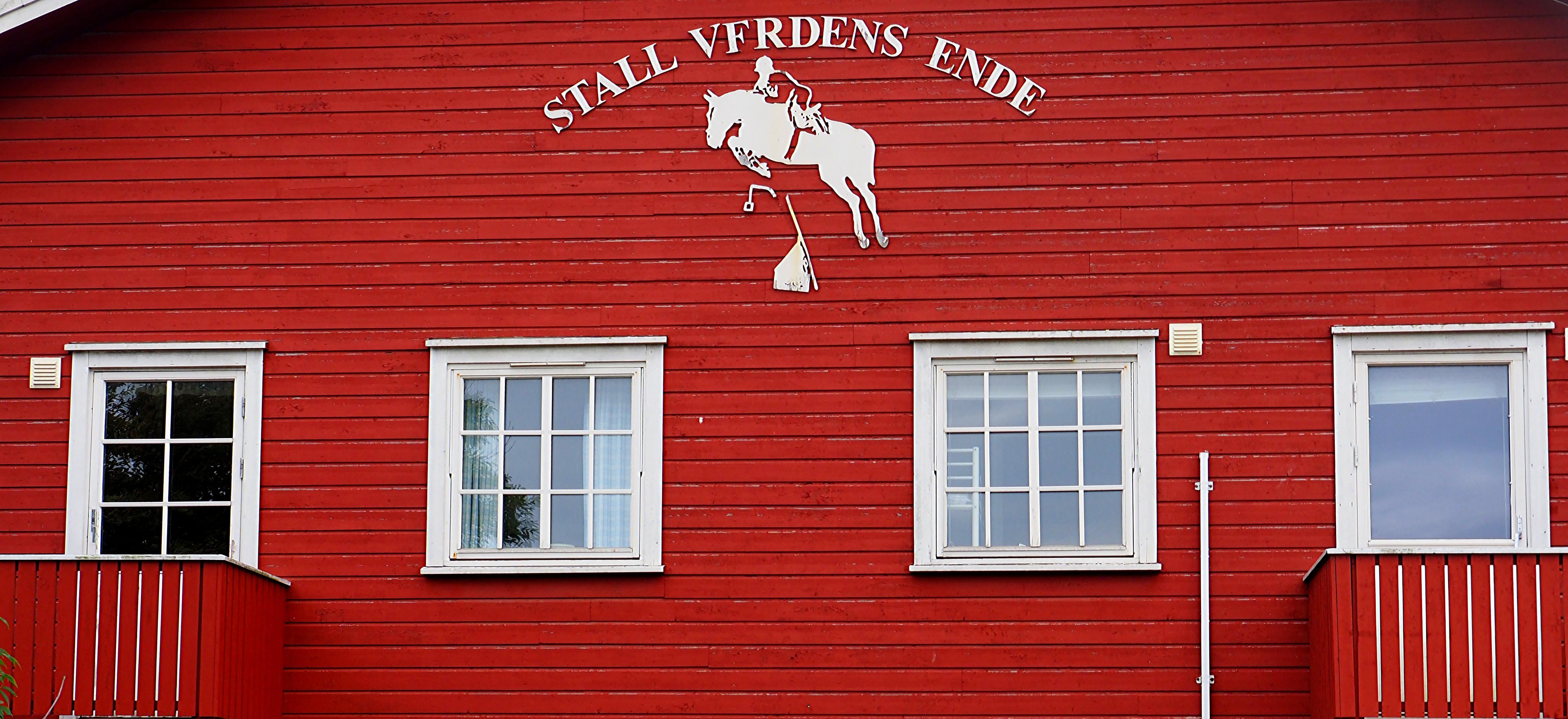
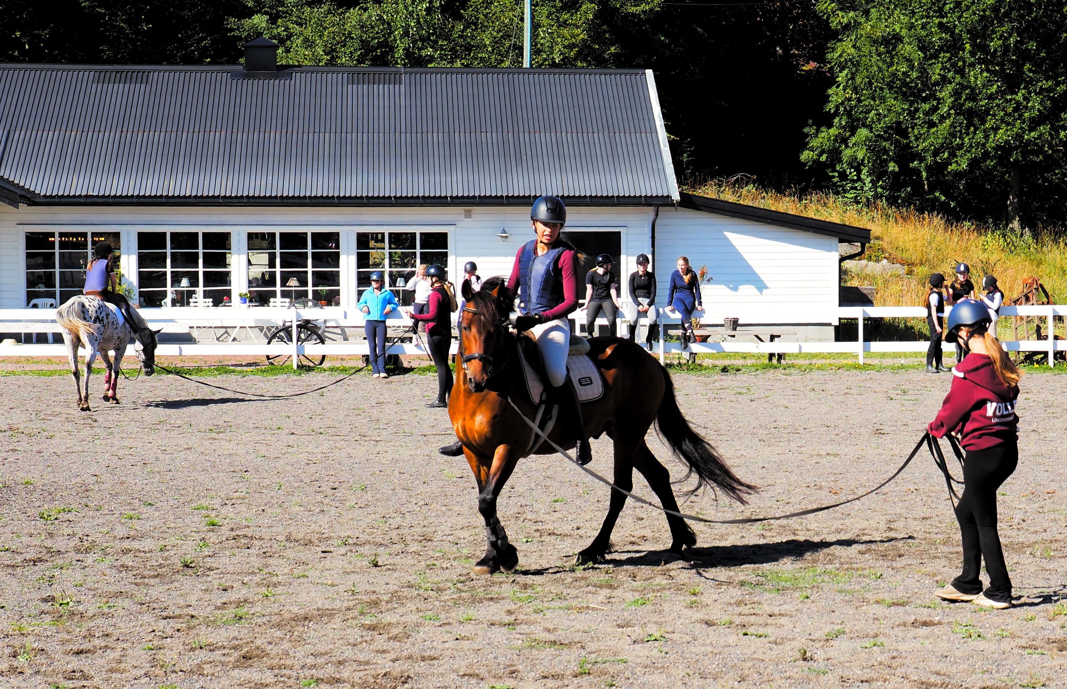
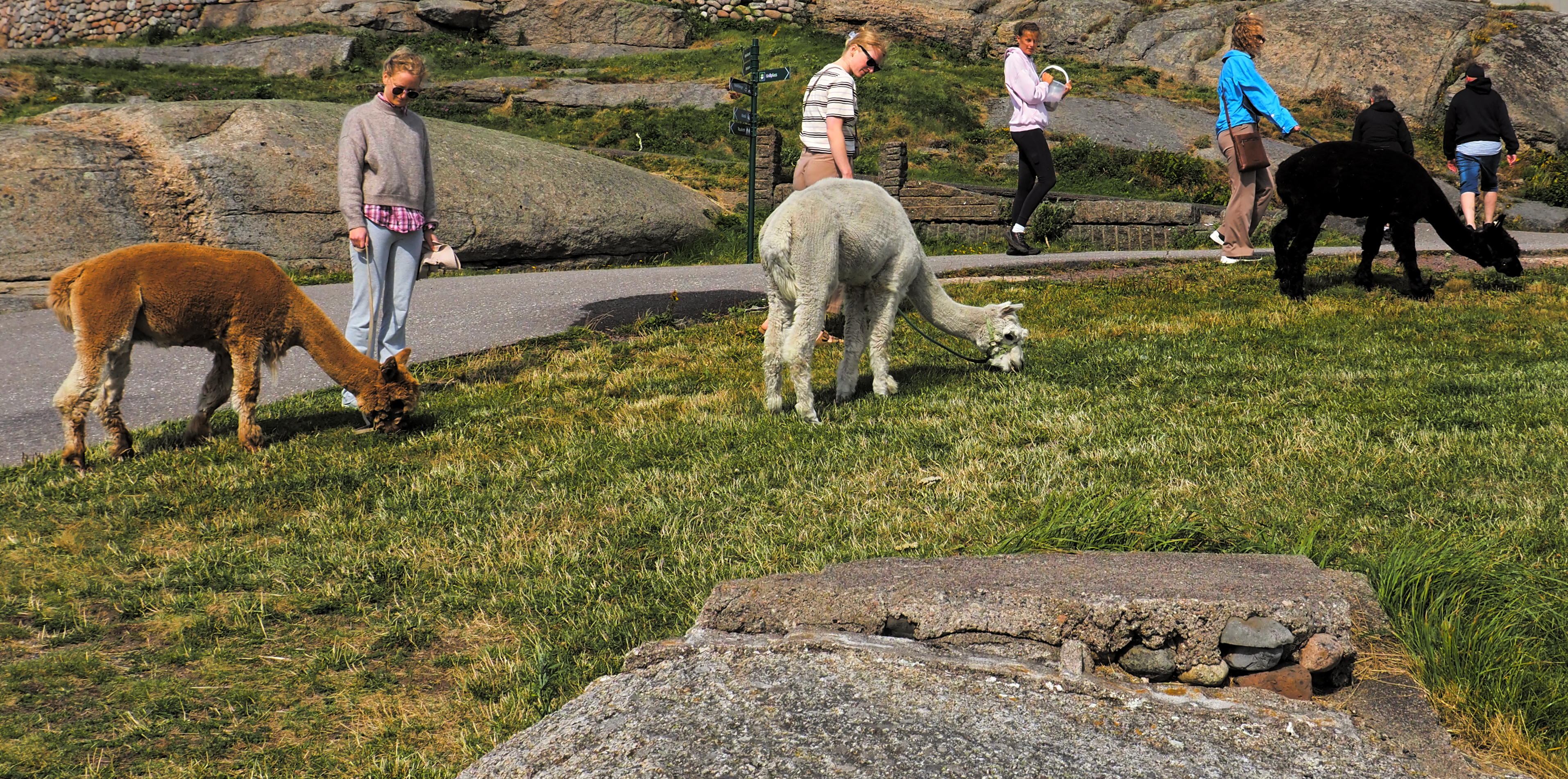
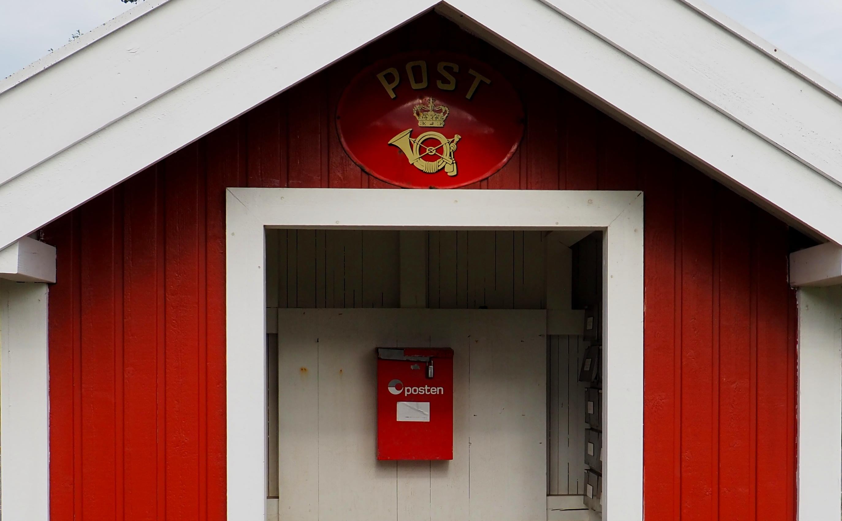
In earlier times, Verdens Ende was a natural harbour for pilot boats whose crews made good use of the excellent vantage point when keeping an eye out for potential customers. At the beginning of the twentieth century, tourism discovered the southern tip of the island of Tjøme. And once the bridge was built in 1932, the harbour, a newly opened restaurant and the reconstructed 17th century swinging light (see below) became a prime day-trip destination for the Oslo people. For them, this was as far as you could go – hence the name, much like Finistère in Brittany, Land’s End in Cornwall and Fin del Mundo in Tierra del Fuego. Today, southern Tjøme is a nature reserve with rocks galore, a little woodland (art included), an equestrian centre with horses and alpacas, its very own postage stamp, a mailbox, and plenty of fresh air.